CartoXR

Blending Geospatial Intelligence with Immersive Technologies

“To make immersive GIS accessible to all — empowering industries, researchers, and learners with interactive geospatial visualization and spatial analytics in AR/VR environments.”

About CartoXR

CartoXR pioneers the fusion of Geoinformatics and Extended Reality (XR). We design and deliver immersive solutions — UAV mapping, AR indoor navigation, VR visualization, and XR-enabled spatial analytics — for industry, government, and academia. Our approach combines rigorous geospatial methods with practical immersive UX to accelerate decision-making and training.

Projects

Scroll →
UAV Mapping

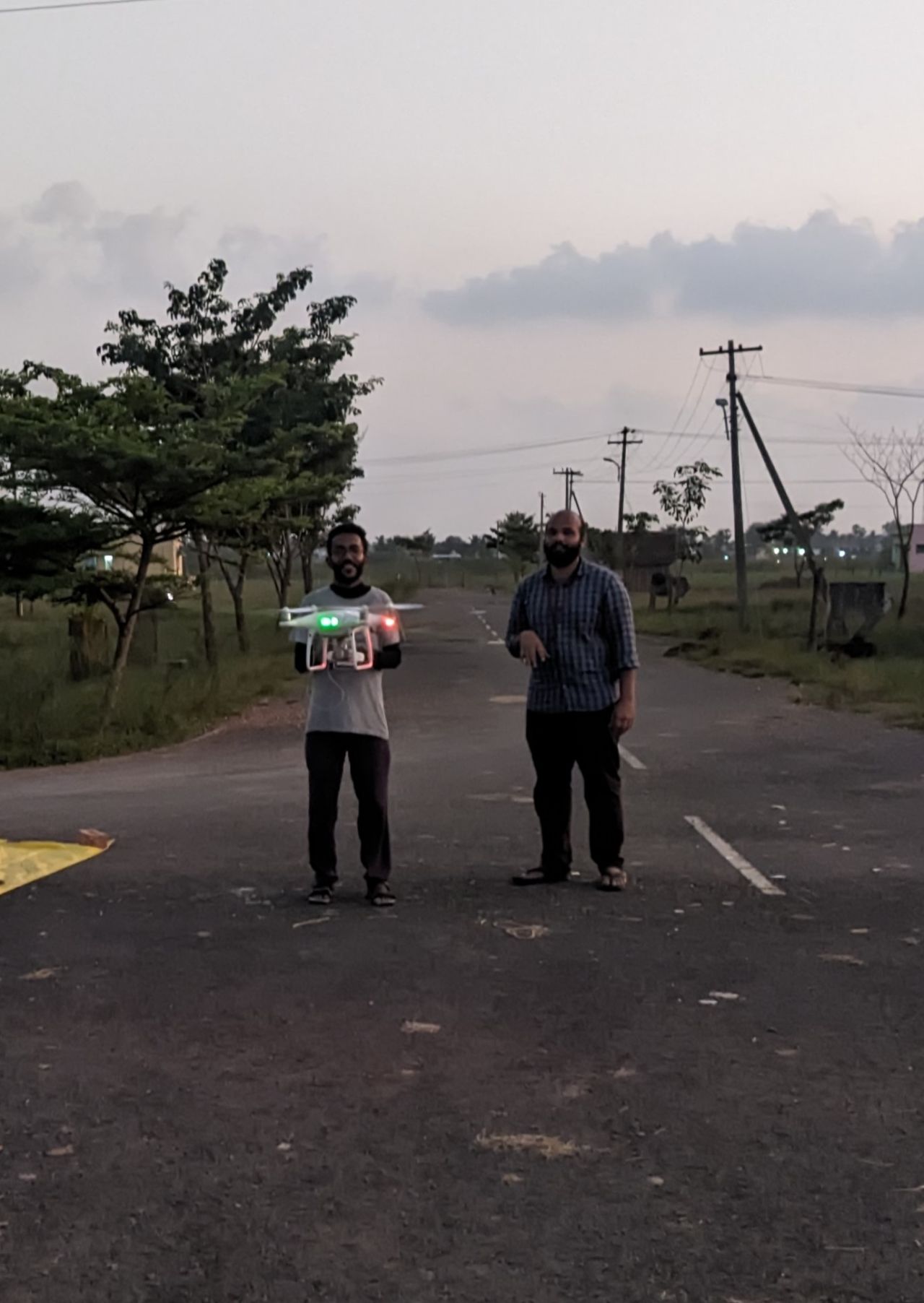
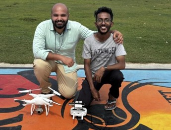
UAV Survey & Mapping

High-resolution aerial data acquisition, precision mapping, rapid deployment for emergency response. Case Study: 2023 Chennai floods (Bajaj Allianz).

AR Indoor Nav

AR-based Indoor Navigation

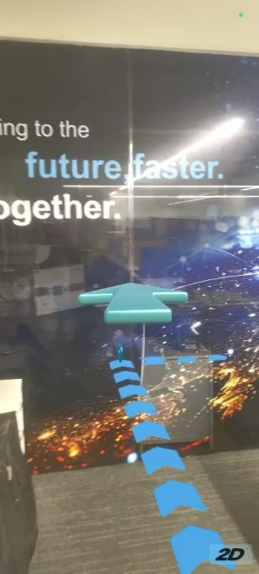
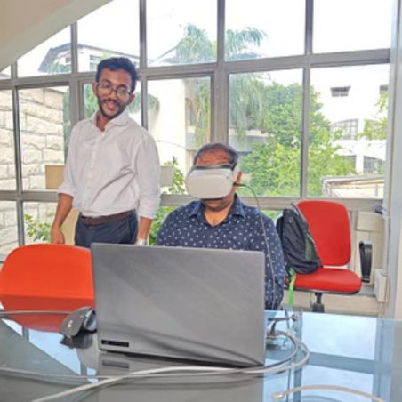
AR indoor navigation module using Unity as Library for Android & iOS integration. (LTI Mindtree)

VR Storytelling

VR-based Storytelling

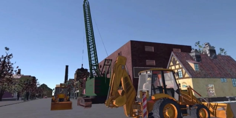
Immersive VR storytelling experience — history-focused narrative and environment design.

Publications & Patents

Patents

  • SYSTEM AND METHOD FOR CREATING AND EDITING THREE-DIMENSIONAL SPATIAL VECTOR DATA IN VIRTUAL REALITY ENVIRONMENT
  • SYSTEM AND METHOD FOR MEASUREMENTS ON A 3D REAL-WORLD RECONSTRUCTED MODEL IN AN IMMERSIVE VIRTUAL ENVIRONMENT

Selected Publications (2021–2024)

  • Subramaniyam, B., Shylesh, D., Ramasamy, J., & Kumar, N. — A Virtual Reality Tool for Accuracy Assessment of 3D Models in an Immersive Virtual Environment, ISPRS Ann. Photogramm. Remote Sens. Spatial Inf. Sci., X-4-2024, 333–340. DOI: 10.5194/...
  • S Bala Subramaniyam, Reshma Raskar-Phule — Real-time Computation of Precipitable Water Vapor from GPS Data, in GNSS Applications in Earth and Space Observations, Taylor & Francis. DOI: 10.1201/...
  • Subramaniyam, S. B., & Sabirul, S. (2024). Mapping and analyzing air pollution using Google Earth Engine of Thiruvananthapuram City. In Disaster risk, resilient agriculture and livelihood. Routledge India.
  • S Bala Subramaniyam, Reshma Raskar-Phule — Planning and Mapping of a Multi Modal Integrated Transportation System for Metro Station at Dadar, Mumbai India, Journal of Civil Engineering Inter Disciplinaries 2(2):7-17, Apr 2021.
  • Richard D’Silva, S Bala Subramaniyam, Reshma Raskar-Phule — Assessing Urban Water Stream Pollution by Using Geospatial Technologies — (book chapter submitted to CRC Press, Taylor & Francis).
  • Jaganathan, R., Shylesh D. S., & John, J. (2022). A localized counter-based filtering approach for generating digital terrain model, Geocarto International, 37(26), 13229–13247. DOI: 10.1080/...
  • John, J., Jaganathan, R., Dharshan Shylesh, D.S. (2021). Mapping of Soil Moisture Index Using Optical and Thermal Remote Sensing. In: SECON’21. Lecture Notes in Civil Engineering, vol 171. DOI: 10.1007/...
  • Applied Geomatics (2023) — Influence of GCPs on UAV positional accuracy. (D. S. et al.) DOI: 10.1007/...
  • Several 2024 journal articles on land use transformation, groundwater quality and LST interactions — see full CV for details.
Awards & Conference highlights:
  • Best Poster — ISG-ISRS National Symposium, Pune (Nov 2023).
  • Second Prize — DST Geo-Innovation Challenge (Anna University) — Extended Reality as a tool to visualize natural ecosystems (Jul 2024).
  • Presented at ISPRS TC IV Symposium — Fremantle, Perth, Australia (Oct 2024) — TIF Grant Awardee.

Workshops & Training

Scroll →
IIST

Geospatial Analysis through XR

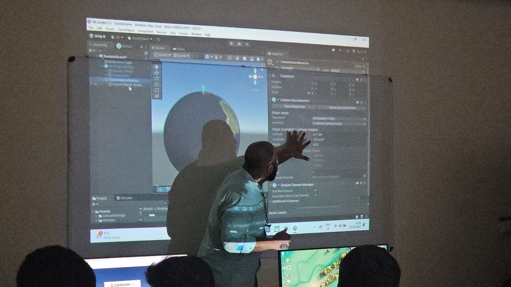
Indian Institute of Space Science and Technology (IIST), Trivandrum — April 24–25, 2025. Unity, Cesium & Mapbox hands-on.

SPCE

Google Earth Engine— Sustainable Urban Infrastructure

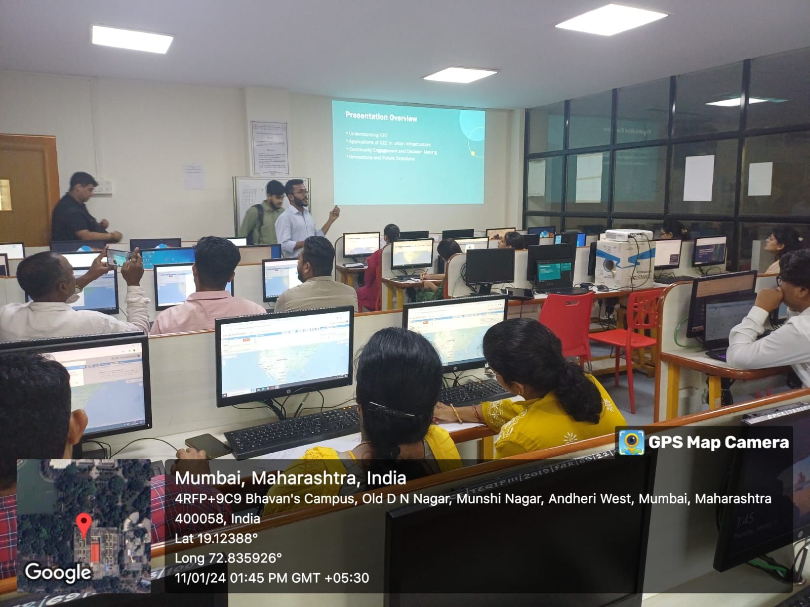
Sardar Patel College of Engineering — AICTE-ATAL program talk on Urban Infrastructure, Sustainability & Climate Change — May 2025.

BVP

Extended Reality & Geoinformatics

Bharati Vidyapeeth (Deemed University) Institute of Environment Education & Research, Pune — Sep 2024.

QGIS Anna University

QGIS Workshop — Anna University

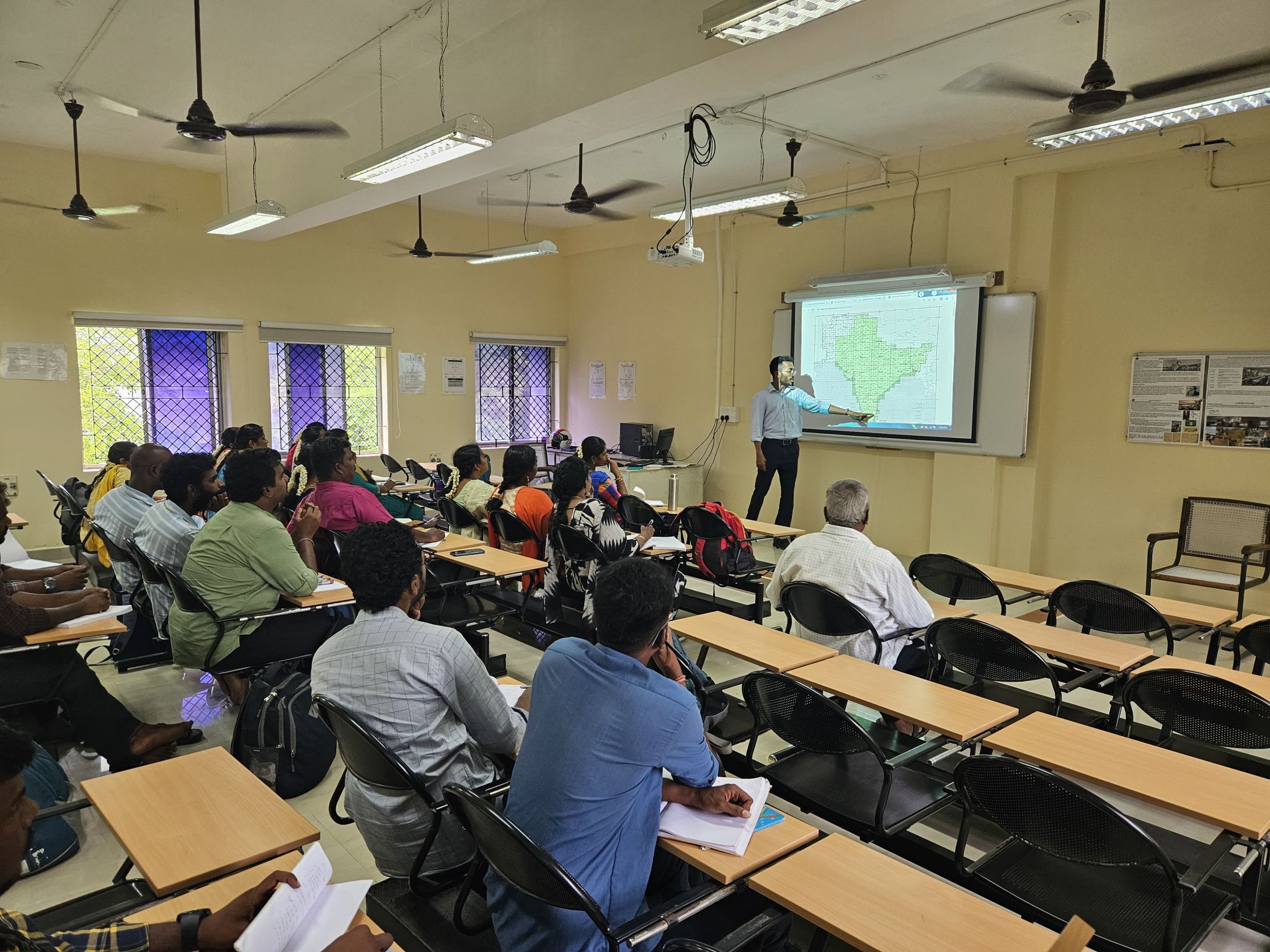
One-week QGIS training for land record managers, urban planners & water resource officials — June 2024.

SIMATS

Immersive Engineering — SIMATS

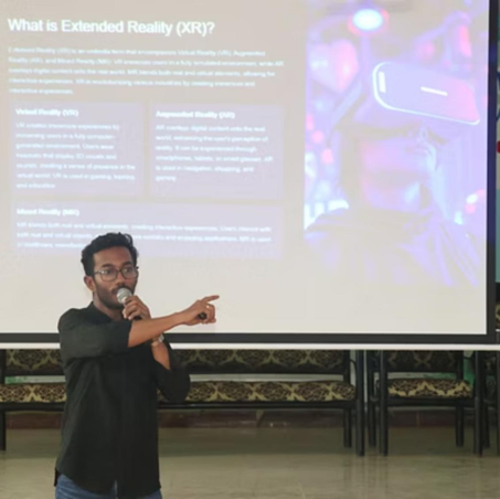
"IMMERSIVE ENGINEERING: A HANDS-ON INTRODUCTION TO VIRTUAL REALITY" — Feb 2025.

Visualising our Impact

DST_AWARD DST_AWARD VR Volume Calculation Measuring Line Feature in VR Client: Bajaj UAV3

Meet Our Team

Bala

S. Bala Subramaniyam

XR Developer | GIS Specialist | Co-Founder, CartoXR

Merging Geospatial Intelligence with Immersive Technologies. Expertise in AR/VR, GEE, QGIS and GIS pipelines.

Dharshan

Dharshan Shylesh

XR Developer | Researcher | Co-Founder, CartoXR

Works on immersive visualisation of remote sensing & 3D model accuracy assessment inside VR environments.

Darwin Thankapan

Darwin Thankapan

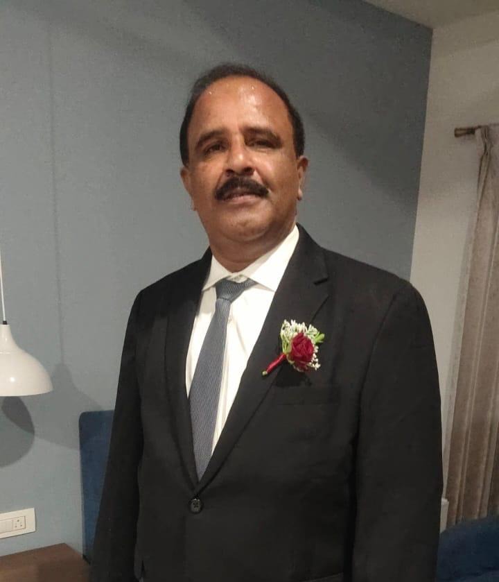
Co-Founder & Designated Partner

Diploma in Civil Engineering

More than 30 years of experience in the field of Construction as a Sole Proprietor.

Contact

For collaborations, workshops, research, or product demos — reach out.

📧 shylesh@cartoxr.com

📄 Download Company Brochure